The Lost Rivers That Still Shape Modern London
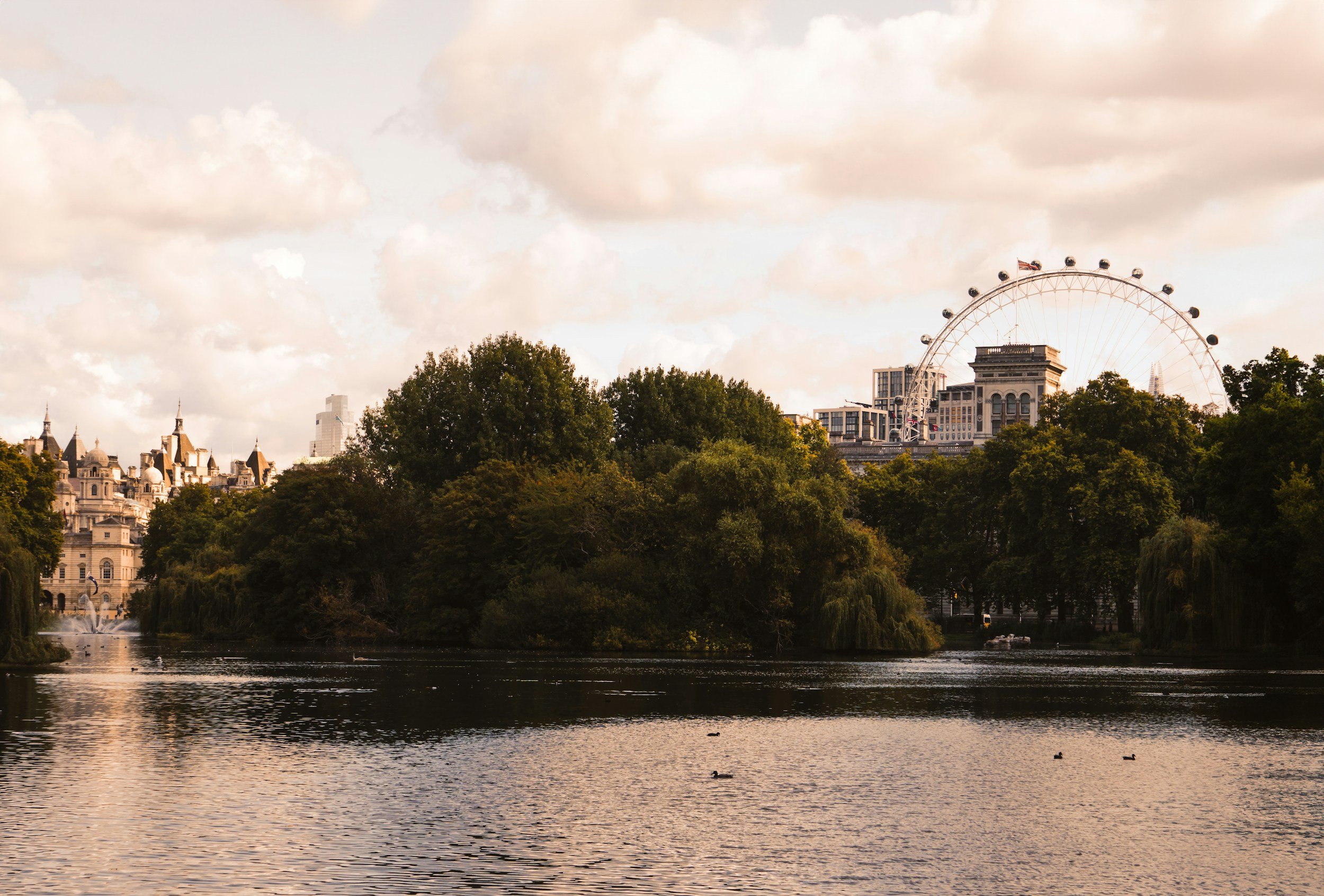
When people think of London's rivers, one immediately comes to mind: the River Thames.
But beneath the city's busy streets, Tube stations and historic buildings lies an entire network of rivers that most people never see. Once flowing openly through fields, villages and forests, many of these waterways were gradually covered over as London expanded into one of the world's largest cities.
Although they're now hidden beneath roads and pavements, these "lost rivers" continue to influence London's geography, transport, architecture and even flooding today. Street names, parks, unusual road layouts and unexpected valleys often reveal exactly where these forgotten rivers still flow underground.
Exploring London's lost rivers offers a completely different way of understanding the city. Suddenly, places you've walked past countless times begin to make sense, and London's landscape tells a story that's been flowing beneath your feet for centuries.
Why Were London's Rivers Buried?
Before London became a sprawling metropolis, dozens of rivers flowed into the Thames.
As the population grew during the 18th and 19th centuries, many of these waterways became heavily polluted. They were increasingly used as open sewers, creating serious public health problems. To improve sanitation and make room for new streets, railways and housing, engineers gradually enclosed many rivers in underground culverts.
The transformation accelerated during the Victorian era, particularly after Joseph Bazalgette designed London's revolutionary sewer system following the "Great Stink" of 1858. In many places, the new sewers followed the routes of the old rivers, permanently hiding them beneath the city.
Today, these waterways continue flowing just out of sight.
1. The River Fleet - London's Most Famous Lost River
Of all London's buried rivers, the Fleet is the best known.
Originating on the slopes of Hampstead Heath, it once flowed through Kentish Town, Camden, King's Cross, Farringdon and Blackfriars before reaching the Thames. During medieval times, parts of the Fleet were wide enough for small boats, and its banks supported mills, markets and industries.
As London's population grew, however, the river became increasingly polluted. By the 18th century, much of it had been enclosed, and later sections disappeared beneath Bazalgette's sewer network.
Even today, clues remain. Farringdon Road follows much of the Fleet Valley, while the name Fleet Street originally referred to the river rather than newspapers.
📍 Where to Spot Its Legacy: Hampstead Heath, Kentish Town, King's Cross, Farringdon and Blackfriars.
Why It Matters: It shaped some of London's oldest roads and gave Fleet Street its name.
2. The River Tyburn - Hidden Beneath Buckingham Palace
The River Tyburn once flowed from Hampstead through Marylebone, Hyde Park, Green Park and Westminster before joining the Thames near Pimlico.
Although completely underground today, its path still influences London's landscape. The gentle dip through Hyde Park and the Serpentine follows part of its historic valley, while several streets and landmarks preserve its name.
One of the river's tributaries even runs beneath Buckingham Palace, an extraordinary reminder that nature still exists beneath one of Britain's most famous royal residences.
📍 Where to Spot Its Legacy: Marylebone, Hyde Park, Green Park and Victoria.
Why It Matters: It helped shape London's royal parks and surrounding neighbourhoods.
3. The River Walbrook - The River That Built Roman London
The Walbrook played a crucial role in the founding of Roman Londinium.
Flowing south through what is now the City of London, it divided the Roman settlement into eastern and western halves before entering the Thames.
Archaeologists have discovered Roman temples, roads and artefacts along its former banks, including the Temple of Mithras, one of the city's most important Roman discoveries.
Although invisible today, the Walbrook remains one of the reasons Roman London developed where it did.
📍 Where to Spot Its Legacy: Bank, Cannon Street and the London Mithraeum.
Why It Matters: It helped shape the layout of Roman London nearly 2,000 years ago.
4. The River Westbourne - The Underground River Beneath a Tube Station
Perhaps London's most surprising lost river can actually be seen—if you know where to look.
The River Westbourne rises in Hampstead before flowing through Kilburn, Bayswater and Chelsea.
At Sloane Square Underground Station, the river still passes overhead inside a large iron pipe suspended above the District and Circle line platforms. Thousands of commuters pass beneath it every day without realising they're crossing a hidden river.
It's one of London's most fascinating pieces of hidden engineering.
📍 Where to Spot Its Legacy: Sloane Square Underground Station.
Why It Matters: It's one of the few places where a buried London river is still visible.
5. The River Effra - South London's Forgotten Waterway
Unlike many lost rivers north of the Thames, the River Effra tells the story of South London's transformation.
It once flowed from Upper Norwood through Dulwich, Herne Hill and Brixton before reaching Vauxhall Creek and eventually the Thames.
As Victorian development spread south, the Effra was gradually enclosed and incorporated into London's sewer system.
Today, roads, parks and occasional flood warnings still reveal its route.
📍 Where to Spot Its Legacy: Dulwich, Herne Hill and Brixton.
Why It Matters: It continues to influence drainage and flood management across South London.
6. The River Neckinger - Bermondsey's Industrial Lifeline
The Neckinger may not be as famous as the Fleet, but it played an important role in London's industrial history.
Flowing through Bermondsey, the river powered mills, supplied water to leather tanneries and supported local industries that helped define the area for centuries.
Although mostly hidden today, its name survives in Neckinger Estate and local history, reminding visitors of Bermondsey's manufacturing past.
📍 Where to Spot Its Legacy: Bermondsey.
Why It Matters: It helped transform Bermondsey into one of London's industrial centres.
7. The River Falcon - A Forgotten Stream in Southwest London
The River Falcon once flowed through Battersea and Wandsworth before joining the Thames.
While much of it has long since disappeared beneath roads and housing, its memory lives on through Falcon Road, Falcon Park and local place names.
Like many of London's smaller rivers, it was gradually culverted as suburban development expanded during the 19th century.
📍 Where to Spot Its Legacy: Clapham Junction and Battersea.
Why It Matters: Its route still influences local geography and drainage.
8. The River Peck - The River That Named Peckham
The name "Peckham" itself is believed to derive from the River Peck, which once flowed openly through the area.
Although now almost entirely underground, the river still influences the local landscape, and occasional restoration projects have explored revealing short sections to the public.
Many visitors have no idea that one of South London's best-known neighbourhoods owes its name to a hidden river.
📍 Where to Spot Its Legacy: Peckham.
Why It Matters: It gave one of London's most famous districts its name.
How London's Lost Rivers Still Shape the City Today
It's easy to assume these rivers disappeared forever, but they're still very much part of London's daily life.
Many roads follow old river valleys because they provided the easiest routes through the landscape. Parks often occupy former floodplains, while unexpected hills and dips reveal valleys carved by rivers centuries ago.
Modern engineers continue to account for these hidden waterways when constructing new Underground lines, tunnels and buildings. During periods of heavy rain, several buried rivers can contribute to local flooding, reminding Londoners that although these rivers are out of sight, they haven't gone away.
Even London's place names preserve their memory. Fleet Street, Walbrook, Bayswater, Peckham and many other familiar locations owe their origins to waterways that most people never realise exist.
Final Thoughts
London is often described as a city built on history, but some of its most fascinating stories lie beneath the surface.
The lost rivers that once shaped Roman settlements, powered mills, supplied drinking water and influenced the growth of neighbourhoods still flow quietly beneath the streets. Though hidden from view, they continue to shape the city's geography, engineering and identity in ways that many people never notice.
The next time you're walking through Hyde Park, crossing Fleet Street or waiting for a train at Sloane Square, remember that a forgotten river may be flowing just beneath your feet. Once you start noticing the clues, you'll never look at London in quite the same way again.
Discover More Hidden Stories of London
From forgotten rivers and secret tunnels to historic landmarks, fascinating neighbourhoods and unique local experiences, LondonYaar.com helps you uncover the stories that most visitors never hear.
Follow @rohan.londonyaar for more London travel tips, hidden gems and the incredible history behind the capital's streets.